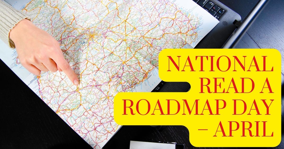
When is National Read a Roadmap Day?
April 5th is the National Read a Road Map Day. It is a challenge to put your skills to the test.
Britania Atlas, the first road atlas, was by cartographer John Ogilby in 1675.
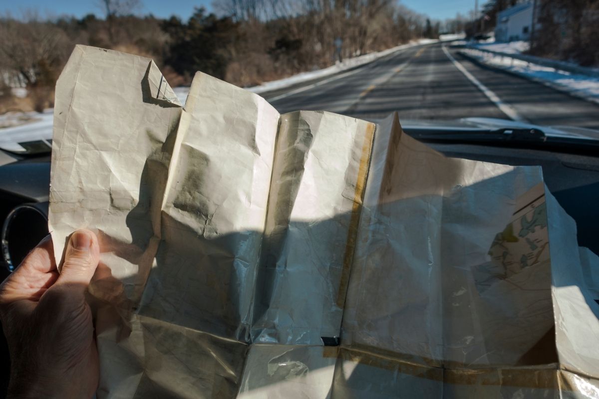
Road maps are still a valuable resource. We’ll need to rely on a current road map to keep us on track if our batteries run out or our satellite link is down. The day serves as a reminder to practice our map reading skills.

The History of Roadmaps
Although gathering information from first-hand travels likely contributes to the development of the oldest ‘road maps’ we know of, their intention was not to accompany an actual journey.
The Roman Tabula Peutingeriana or Peutinger Map (a 13th-century copy of a lost 4th-century original currently at the Austrian Nationalbibliothek in Vienna) shows the network of roads that ran across the Roman Empire from southeast England to India. It was more likely to plan, strategize, and even celebrate a voyage than physically accompany it.
Similarly, Matthew Paris’s famous route maps of Britain, Europe, and the Middle East from the mid-13th century were most likely for use to memorialize or chronicle previous voyages rather than to enable new ones. They would, however, allow people to take virtual journeys by combining them with a type of mental pilgrimage.
The modern British ‘road map’ traces back to the second half of the 17th century when a new genre of increasingly compact publications emphasizing routes (primarily today’s ‘A’ roads, mostly based on John Ogilby’s work) started appearing.
Thanks to a growing level of mobility and map literacy, the road map was one of the most identifiable and functional maps available in the early twentieth century.
The widespread usage of the term “roadmap” is thus fully compatible with the possible original use of road maps for planning and strategizing before the practical wayfinding. However, the current availability of road maps, rather than an implicit grasp of their original use, is most likely to blame for how it embraced ‘roadmap’ in this context.

How to Celebrate National Read a Roadmap Day
When did you last use a map to find your way around? No, not a GPS or a map app, but a physical map? Here are a few ways how to commemorate National Read a Road Map Day:
Take a quick road journey with only paper maps as a guide. Bring a navigator to assist you with map reading and navigation. If you don’t have a navigator, read the map only while stopping the automobile entirely. Take some time to learn how to read a map if you haven’t before.
FAQs on Roadmaps
What is a Roadmap Maker Called?
A person who creates maps is called a cartographer.
Why Do We Still Use Paper-Based Roadmaps?
Wireless service isn’t always perfect; batteries die, and technology breaks. While your car’s roadmap or atlas may not have the most up-to-date rest breaks, restaurants, or routes, they will get you from point A to point B.
The History of National Read a Roadmap Day
In today’s world, paper road maps have become somewhat obsolete. So, Read a Road Map Day attempts to increase awareness. From Ancient Egypt to current Europe, road maps have a lot of history.
Road maps began in Egypt in 1160 B.C. The first known road map example showed dry river beds in Thebes’ mining zone. Years later, around 350 A.D., there was the establishment of the Tabula Peutingeriana Roman road network. It showed highways and trails that connected North Africa and Europe with West Asia.
The Mediterranean Sea and the Italian Peninsula were part of the accurate route map. Rand McNally’s “New Automobile Road Map of New York City & Vicinity,” published in 1904, is a more recent example. As the name implies, it outlines the road system and other aspects of New York City.
A road map shows the travel routes and links that connect all location’s essential and minor points at their most basic level. Political boundaries and associated restrictions are also on these maps. Aside from that, you can use road maps to locate nearby pit stops, gas stations, and other facilities of transportation.
There are mentions of famous landmarks, tourist attractions, hotels, inns, and other accommodations on road maps. The type of map you have determines the types of information you’ll find on a road map. Single-page and smaller road maps, for example, will show all of the major and minor roads. Big and foldable maps, on the other hand, offer more details.
Although paper road maps are no longer in use, they provide valuable assistance, especially when technology gadgets are unavailable due to network troubles or battery concerns. Paper road maps also give us a glimpse into the past, allowing us to indulge in nostalgia.
While it is unknown who invented Read a Road Map Day or when its first commemoration was, the day raises awareness of humanity’s incredible achievements.
Final Thoughts
Roadmaps, in other words, route maps, are navigational maps that often show highways and landmarks in a certain area.
The emergence of the Global Positioning System (GPS) and mobile technology made paper maps obsolete.